
Navigation Bathymetry Map 12.06.2022
The final version of the mod.
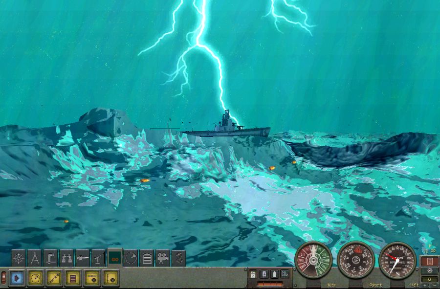
1) In this assembly, the surface textures of the entire land were replaced
as well as added textures of the depths of the oceans on the maps
medium and long range.2) Depth in the Ore Sunn Strait (navigation training mission)
has been fixed to the stock version, although it does not match
real depths of this strait. This was done in order
so that it was possible to complete all the tasks of the training mission.
Oryo Island has also been shortened a bit (navigation training mission)
This was done so that stock ships could pass this
the strait and not run into the horizon line.