
|
|
SUBSIM: The Web's #1 resource for all submarine & naval simulations since 1997
|
SUBSIM: The Web's #1 resource for all submarine & naval simulations since 1997 |
 12-26-16, 04:38 AM
|
#1 |
|
Bosun
 Join Date: Apr 2011
Location: Stockholm, Sweden
Posts: 69
Downloads: 209
Uploads: 0
|
Hey! I'm just wondering if anyone has any wonderful nautical charts covering the Pacific from the 1940s? Used to have some for sh5 but would like to have some accurate once for the Pacific

|

|

|
|
12-26-16, 11:31 AM
|
#2 |
|
Navy Seal
 Join Date: Mar 2007
Location: DeLand, FL
Posts: 8,900
Downloads: 135
Uploads: 52


|
Hey, do what the real skippers did. 1930's National Geographic map pullouts!
 There was a horrible shortage of charts for the Pacific theater. The best charts were Japanese! And of course you can't conduct soundings and make good charts while there's a war going on. Now, if you go to NOAA's chart page, you can see what charts are available today, including historical charts. Contemporary American Charts: 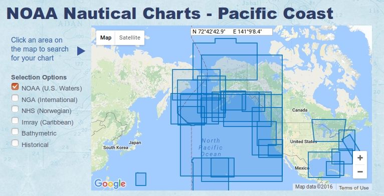 Historical American Charts: 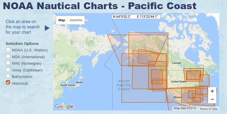 Contemporary International Charts: 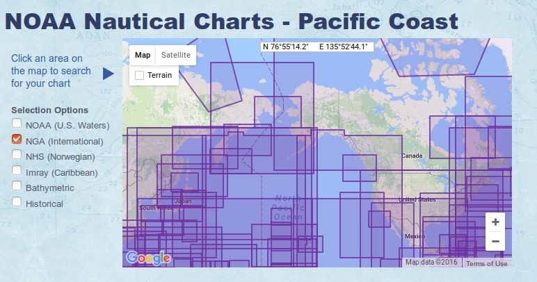
__________________
Sub Skipper's Bag of Tricks, Slightly Subnuclear Mk 14 & Cutie, Slightly Subnuclear Deck Gun, EZPlot 2.0, TMOPlot, TMOKeys, SH4CMS |
|
|
|
|
12-26-16, 01:18 PM
|
#3 |
|
Pacific Thunder

 Join Date: Apr 2004
Location: Yellow Sea
Posts: 1,896
Downloads: 236
Uploads: 14

|
Rockin Robbins is right, they would use National Geographic maps or old Dutch charts of areas they controlled and charted prior to the War. The US did it, so did the Germans.
I used to collect old National Geographic's when we did Paper Sales (go around and collect newspapers & magazines to raise money for Boy Scouts) and had all the oldies plus countless maps........... years (decades) later, one of my sweet sisters threw them away - I wasn't happy but I still love her. : ) If you're map crazy like me, go to the Geography dept of a good University and they have drawers full of maps including nautical charts. Happy Hunting!
__________________
" Bless those who serve beneath the deep, Through lonely hours their vigil keep. May peace their mission ever be, Protect each one we ask of thee. Bless those at home who wait and pray, For their return by night and day." |
|
|
|
|
12-27-16, 01:29 PM
|
#4 |
|
Bosun
Join Date: Apr 2011
Location: Stockholm, Sweden
Posts: 69
Downloads: 209
Uploads: 0
|
Many thanks for those answers! Will see if I can find some old maps at the library. used this in the mean time https://www.nationalgeographic-maps....loor-map.html#
From 69 so not really accurate but... 
|
|
|
|
 |
| Tags |
| nautical charts sh4 1940 |
|
|


 Linear Mode

