
|
|
SUBSIM: The Web's #1 resource for all submarine & naval simulations since 1997
|
SUBSIM: The Web's #1 resource for all submarine & naval simulations since 1997 |
 05-04-11, 05:07 PM
|
#1 |
|
Ace of the deep .

Join Date: Jan 2006
Posts: 9,226
Downloads: 901
Uploads: 73
|
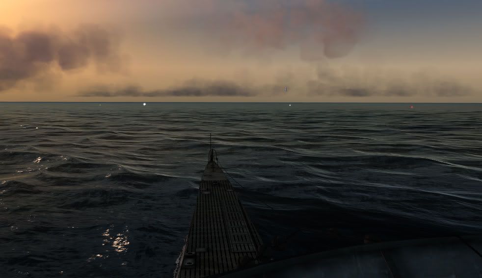
[REQ] Navigation bouys in SH5
Check this thread out . http://www.subsim.com/radioroom/show...ghlight=marker |

|

|
|
05-04-11, 06:35 PM
|
#2 |
|
中国水兵
 Join Date: Dec 2010
Posts: 278
Downloads: 91
Uploads: 0
|
Yes.
Maybe this book have infos about all buoys' positions from 1939-45 ;) 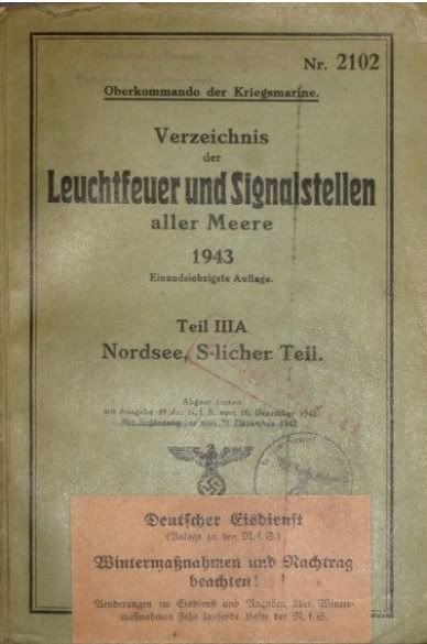 The exact position of all lighthouses from 1939-45 is pretty much clear, since we have all the KM-Maps from the Atlantic & North Sea & Mediterranean Sea etc. (every yellowish point is a lighthouse). 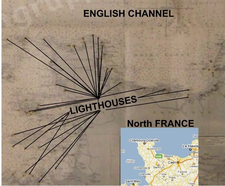
|
|
|
|
|
05-05-11, 01:20 AM
|
#3 |
|
Sea Lord
 Join Date: Mar 2010
Posts: 1,845
Downloads: 184
Uploads: 2
|
Outside LaSpezia/Italy.
   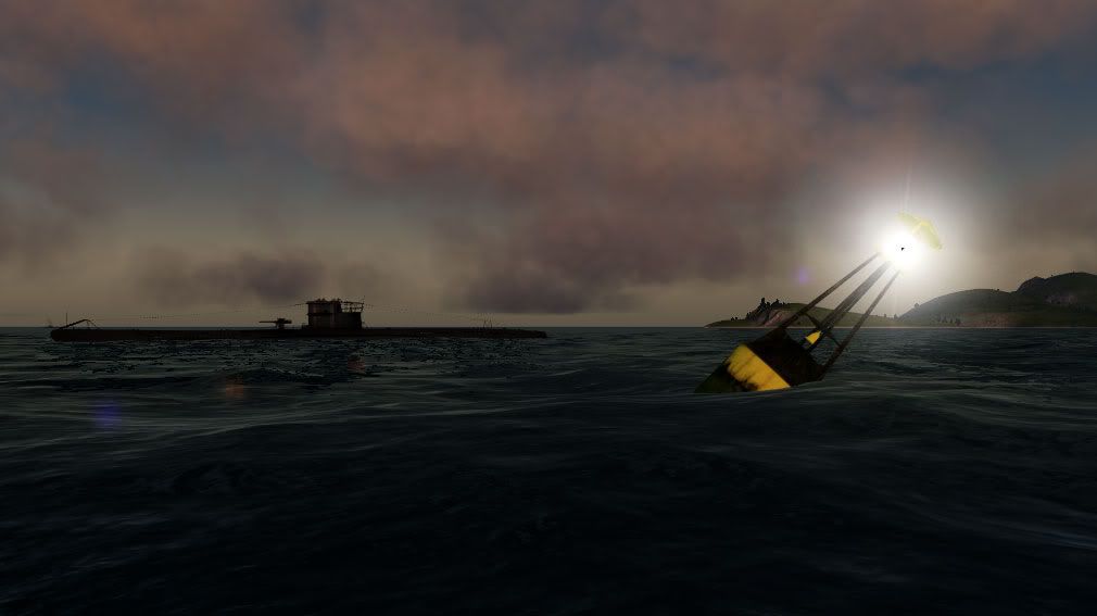  I dont even know whos permission to ask, the credits list is very long. And where exactly these buoys are used? They float a bit low in the water and the texture need an update, but they are oke and every light works.. tested red, green and white. Im not 100% sure about this as I tested these only for 20minutes/5 hours ingame.. but seems like they also block the patrol ships. From 5 patrol ships in port, only one was active when I arrived in the test area.. the rest... stuck. Similar to the problem with the mines. And this is with stock game, no mods .. |
|
|
|
|
05-05-11, 02:37 AM
|
#4 |
|
The Old Man
 Join Date: Jan 2010
Location: Lynnwood, WA
Posts: 1,533
Downloads: 886
Uploads: 23
|
I think it would be very easy to import these Bouy's to SH5


|
|
|
|
|
05-05-11, 03:04 AM
|
#5 | |
|
Sea Lord
Join Date: Mar 2010
Posts: 1,845
Downloads: 184
Uploads: 2
|
Quote:
Only the sdl need a bit of editing, everyhting else works ok. |
|
|
|
|
|
05-05-11, 09:42 AM
|
#6 |
|
Ocean Warrior
 Join Date: Dec 2010
Location: Montreal, Canada
Posts: 2,776
Downloads: 833
Uploads: 11
|
@Sober... seems that your wishes become true very fast... can you tell us all your wishes... seems it is the proper time for this
|
|
|
|
|
05-05-11, 09:53 AM
|
#7 | |
|
Black Magic
 Join Date: Jun 2007
Posts: 11,962
Downloads: 147
Uploads: 5
|
Quote:
These bouys are used to mark channels for shipping lanes. |
|
|
|
|
|
05-05-11, 02:23 PM
|
#8 |
|
Captain
 Join Date: Feb 2011
Location: Germany
Posts: 117
Downloads: 111
Uploads: 0
|
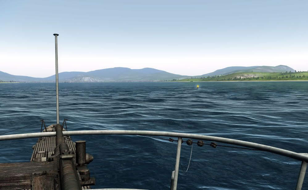
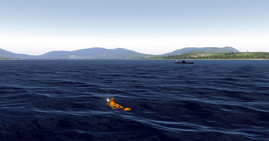
The black/yellow buoys are used to mark dangerous Areas, like Wrecks or sands.
 Green and red are for the shipping Lanes, red/white (vertical) mark the middle of a shipping Lane.  From Sea coming, the green buoys are on Starbord side. Here an Example:  Sorry for the many Pictures, but i would bite in my Mouse if they where of the wrong Side ingame.  The Lights are reglemented too, but i think its too much work. But you can count the Flashes (at Pic 1) and see, where you must pass the Buoy. But it is a great Advancement in my Opinion. Nice to see that. Last edited by LtzS_Petersen; 05-05-11 at 02:49 PM. |
|
|
|
|
05-05-11, 03:02 PM
|
#9 |
|
Sea Lord
Join Date: Mar 2010
Posts: 1,845
Downloads: 184
Uploads: 2
|
Huh... excellent info, thanks so much. So according to these rules.. in ports I will place only green and red ones. And the red ones will be in middle and green.. where? Im a complete noob with these things but I wanna make it right. So for example in Kiel I will place the red buoys on middle and green ones on booth shore side?
We have no wrecks in SH, so where I can use the yellow ones? Should I mark with them a mined area? :P Actually that would be very cool, so I can guide the players out of the mine fields in friendly areas, like Helgoland/North Sea. |
|
|
|
|
05-05-11, 03:06 PM
|
#10 | |
|
Ocean Warrior
Join Date: Dec 2010
Location: Montreal, Canada
Posts: 2,776
Downloads: 833
Uploads: 11
|
Quote:
|
|
|
|
|
|
05-05-11, 03:39 PM
|
#11 |
|
Captain
Join Date: Feb 2011
Location: Germany
Posts: 117
Downloads: 111
Uploads: 0
|
Here a Chart from the Kieler Förde:
http://www.nv-pedia.de/pedia/?q=node/471 Parts of the Baltic coast, Florida and Caribbean you can find there. With a right click enlarge. Nice, in the Eckernförde Bight is the Torpedo Trail Area from the Torpedoversuchsstation, Torpedo Test Center. These are Yellow Buoys with a lying Cross on top. Or look at openseamap.org, but this is uncomplete i think. http://www.openseamap.org/ Bells was used on important Places, like the red Buoy at the Sands from Laboe or Weser 9, 2,5nm westward from Lighthouse "Roter Sand". Here the Chart from Laboe, the Buoy is marked with "Bell".  The Yellow/Black you can use like the Kleverberg-Ost:  And i prefer yellow Buoys for Minefields. 
Last edited by LtzS_Petersen; 05-05-11 at 04:08 PM. |
|
|
|
|
05-05-11, 03:59 PM
|
#12 |
|
Sea Lord
Join Date: Mar 2010
Posts: 1,845
Downloads: 184
Uploads: 2
|
Zis ist nicht funny! Now I need to reorganize completely the whole port traffic and force the ships to sail on the correct side... and I thought this will be easy and fun.
 Thanks again for the info, appreciate it. |
|
|
|
|
05-05-11, 04:06 PM
|
#13 | |
|
Ace of the Deep
Join Date: Nov 2009
Location: New Zealand
Posts: 1,013
Downloads: 124
Uploads: 0
|
Quote:
But glad to see that your going to implement the correct harbour rules.  Now I'm going to have to learn how to navigate correctly through a harbour. Awesome work Zedi.
__________________
Windows 7, 64bit. Phenom II 965BE (OC 4cores @ 3.8 Ghz). Radeon HD4870 (1gb gddr5). 6gb Ram. |
|
|
|
|
|
05-05-11, 04:21 PM
|
#14 | |
|
Bosun
 Join Date: Mar 2009
Posts: 68
Downloads: 236
Uploads: 0
|
Quote:
From : http://yachtpals.com/how-to/navigation-us3 "Lateral Aids to Navigation generally indicate which side of an aid to navigation a vessel should pass when channels are entered from seaward. In the absence of a route leading from seaward, the conventional direction of buoyage, generally follows a clockwise direction around landmasses. The most important characteristic of an aid is its color. The "3R" rule "Red Right Returning" is the essential rule of thumb for using the lateral system. This means that when entering one body of water from a larger body of water (i.e. returning to a harbor from a bay or sound), keep the red aids to starboard (right) side and green aids to port (left) side. In addition, each aid is numbered, and these numbers increase as entering from seaward. " Was how I learned it.... Red on Right when Returning...... if you have Both red and green, green on right when leaving Port. ( Green means GO,,,,, Red means STOP..... Green on Right when GOING out..... Red on Right When COMING home.) Ya want a real mystery...... Figure out the lights on Ocean going Tugs and Cargo ships ! They got more than a Christmas Tree in Times Square ! So many Lights, in Rows, with different colors.... Anywyas........... |
|
|
|
|
|
05-05-11, 04:30 PM
|
#15 | |
|
Captain
Join Date: Feb 2011
Location: Germany
Posts: 117
Downloads: 111
Uploads: 0
|
Quote:
' sry about that.Its bad that the Wrecks are not permanent, also stranded Ships, that were a little sightseeing Effect at Harbor Approaches. Edit: @Budds: these are different Rules, Europe, Africa, Australia and most Parts of Asia use the Lateral A System, America, Japan, Phillipines and Korea the Lateral B System. There are the Starbord Buoys Red and the Port Buoys green, but the top Marking is the same as in A. Last edited by LtzS_Petersen; 05-05-11 at 04:51 PM. |
|
|
|
|
 |
|
|


 Linear Mode

