
|
|
SUBSIM: The Web's #1 resource for all submarine & naval simulations since 1997
|
SUBSIM: The Web's #1 resource for all submarine & naval simulations since 1997 |
|
|||||||||
| View Poll Results: I think you should.... | |||
| Keep the speed chart and lose the airbase markers |
|
18 | 18.95% |
| Keep the airbase markers and lose the speed chart |
|
31 | 32.63% |
| Keep both |
|
23 | 24.21% |
| Lose both |
|
23 | 24.21% |
| Voters: 95. You may not vote on this poll | |||
 |
|
|
Thread Tools | Display Modes |
 11-28-07, 09:42 PM
|
#31 | ||
|
The Old Man
 Join Date: Apr 2004
Location: The Shifting, Whispering Sands, NM
Posts: 1,463
Downloads: 10
Uploads: 0
|
This is the answer
Quote:
I would request,ability to reverse engineer .dds-dots-sea folder. Options in your read-me to FtT,are the best consideration of your thoughtfulness toward others,for there knowledge,keep up the professional mods.,Thxs |
||

|

|
|
11-28-07, 09:52 PM
|
#32 |
|
Captain
 Join Date: May 2006
Location: Niskayuna, NY
Posts: 482
Downloads: 103
Uploads: 0
|
There's this...
 located at http://www.army.mil/cmh-pg/brochures/pi/PI.htm And there's... 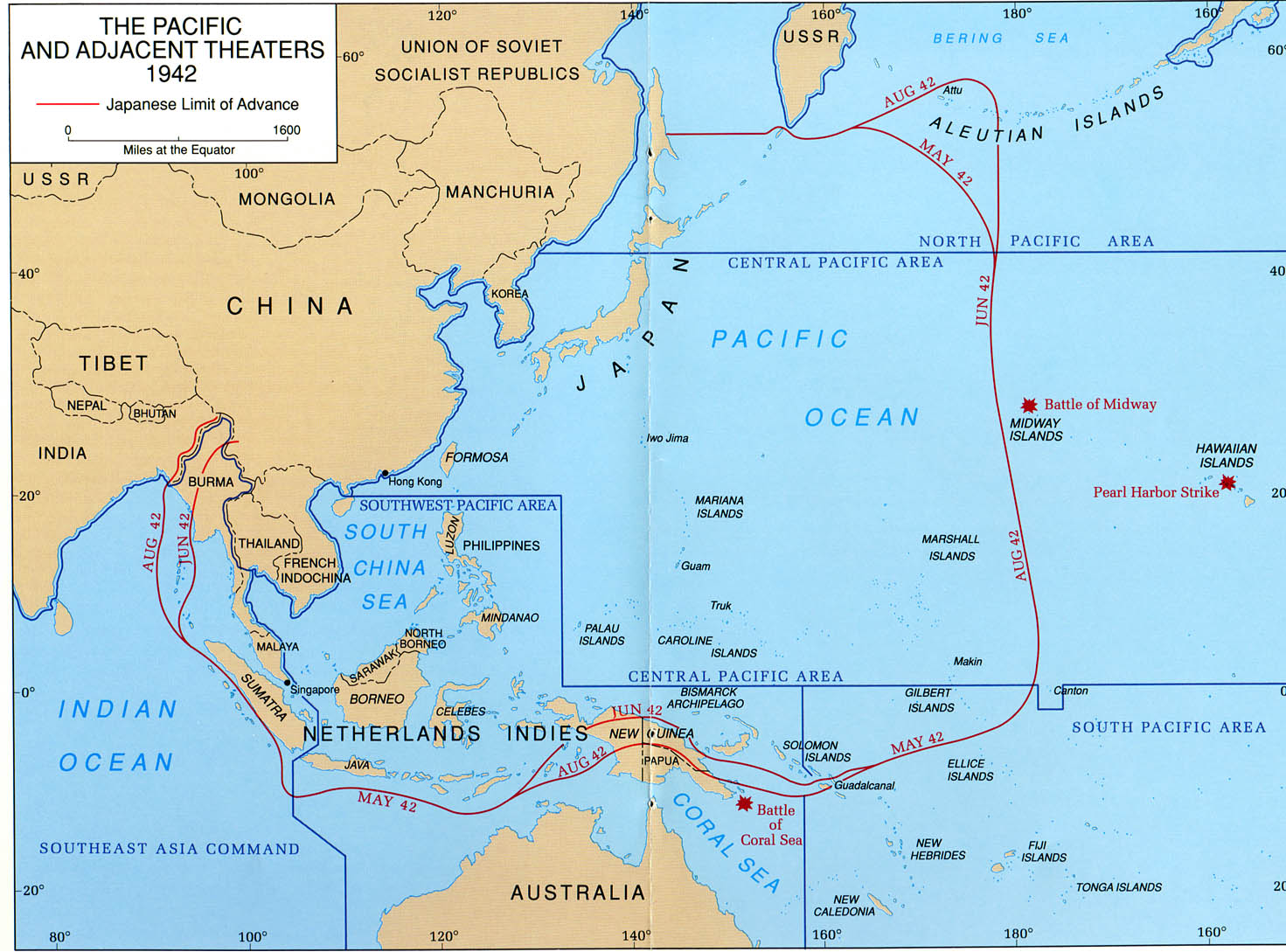 from the same link... That page was linked off of http://historylink101.com/1/world_wa...ific_front.htm That help? I poked around that last link a bit, and there seems to be a few maps that might perk your interest. |
|
|
|
|
11-28-07, 09:55 PM
|
#33 |
|
The Old Man
Join Date: Sep 2004
Location: Melbourne, Australia
Posts: 1,509
Downloads: 4
Uploads: 0
|
__________________

|
|
|
|
|
11-28-07, 11:02 PM
|
#34 |
|
Navy Seal
 Join Date: Mar 2007
Location: New Mexico, USA
Posts: 9,023
Downloads: 8
Uploads: 2
|
Helpful!
Thanks. tater |
|
|
|
|
11-29-07, 04:38 AM
|
#35 | |
|
The Old Man
Join Date: Oct 2007
Location: Somewhere Out In Space
Posts: 1,408
Downloads: 36
Uploads: 0
|
Quote:
My only gripe with it is, it takes about 3-4 seconds to load, but I suspect it's my antiquated computer that should take the blame. I'd vote "keep 'em both" again if I could! 
__________________
   Let the Beast inside you free! |
|
|
|
|
|
11-29-07, 06:00 AM
|
#36 |
|
Weps
 Join Date: Apr 2007
Location: Nottinghamshire
Posts: 368
Downloads: 68
Uploads: 0
|
:rotfl:
I see the polls not turning out to be the most decisive! I voted keep both but introduction of battle lines might change my mind on the airbases. I suspect if you lose the speed chart you'll upset as many quietly content users as there are already for having it. |
|
|
|
|
11-29-07, 06:43 AM
|
#37 |
|
Grey Wolf
 Join Date: Oct 2005
Location: The Netherlands
Posts: 813
Downloads: 16
Uploads: 0
|
wow.. pretty cool..
I would love to have a map like the ones luckyone17 shows.. No more airbases.. 
__________________
 This forum is not the same without you Dave.. we'll miss you buddy |
|
|
|
|
11-29-07, 09:56 AM
|
#38 | |
|
Navy Seal
Join Date: Mar 2007
Location: New Mexico, USA
Posts: 9,023
Downloads: 8
Uploads: 2
|
Quote:
|
|
|
|
|
|
11-29-07, 02:10 PM
|
#39 |
|
Machinist's Mate
 Join Date: Mar 2005
Posts: 122
Downloads: 0
Uploads: 0
|
I'm curious as to why people think knowing the location of Japanese airbases is unrealistic?
I can understand that if the Japanese took over an airbase during a patrol, the crew might not be aware.. but I'm sure Allied intel would be well aware of which airfields the Japanese were operating out of, and would be keen to pass this info onto their sub skippers. Anyway, I voted to keep the airbase markers.
__________________

|
|
|
|
|
11-29-07, 02:15 PM
|
#40 |
|
Rear Admiral
 
Join Date: May 2005
Posts: 12,987
Downloads: 67
Uploads: 2
|
The poll results, has only reaffirmed my hunch, that the only person ill ever please is myself. I mean, the vote is anything but a landslide one way or the other.
Airbase markers are going bye bye.. err acutally, i take that back.... they've GONE bye bye. If tater gets his new mod going soon, i will incorporate that instead if he doesnt mind my doing so. The range speed chart, ill hash in, but im unsure if it will be the default installation, or as an optional mod. Im probably leaning on optional mod. People that know how to use it, will run it. People taht don't know or don't care, wont be complaining. |
|
|
|
|
11-29-07, 03:04 PM
|
#41 |
|
Rear Admiral
Join Date: May 2005
Posts: 12,987
Downloads: 67
Uploads: 2
|
Ok for those who don't get the range speed chart.
 Lets say the Mark i put down represents a convoy report, that is heading to the NE, at a speed of 9 kts. In this example, ive already pulled down the range chart, too look at it. Hes quite a distance away from me, so ill just plot out where he'll be (baring any zigs or speed changes) in 8 hours. In an 8 hour time frame, a target traveling at 9 kts will travel approximately 72 NM.  So, here, ive tucked the range chart out of my way, and take my compass tool, and draw a 72 NM circle centered on the contact report. This circle, reperesents his total possible distance traveled (in any direction from his current position) baring any speed changes. Since i know hes going NE, i plot this circle so the arrow points to the NE. Where the arrow and the circle intersect, is his approximate position in 8 hours from this moment in time. Now the question becomes, can i travel this distance, or farther, in 8 hours? Or in other words, can i intercept this contact? Lets find out.  Now, i know i can probalby make 20 kts, but im going to be conservative and say 19. Im anticiapting rough seas or what not which might slow me down. So ive pulled down my range chart, and am estimating how far i can go, at 19 kt's, in 8 hours time. According to the chart, i can travel approximatley 152 KM, in 8 hours, if im doing 19 kts. Time to plot again!  So you pull out yoru compass, and draw a 152 NM circle, centered on your position, and it looks like, ill be able to make this contact, but BARELY! If i zoom in, ill find that, this plot puts me in a position only 9KM ahead of him. If his mean course and speed stays the same, I might get a shot at this guy. Now, what if the orginal contact report said 10, 15, or 20 kts? If i plotted it out, it would show, that i woudlnt have been able to pull ahead of him to set up an attack. It would be a waste of fuel. Then, like the "old man" in the movie das boot, you can toss the compass down on the map, grunt, and say, "too far, we'll never make it!" |
|
|
|
|
11-29-07, 06:28 PM
|
#42 |
|
Grey Wolf
Join Date: Apr 2005
Location: UK
Posts: 908
Downloads: 673
Uploads: 0
|
Hiya,
Great visual aid there I would like to change my vote now i understand how to easily use the tool And if you get the go-ahead from mr tater for his newly evolving mod i would be happy Cheers for the visual as it's better than lines of text to have to visualise, I'm off to test it asap  Have Fun Many Thanks Ciao Def |
|
|
|
|
11-29-07, 07:17 PM
|
#43 |
|
The Old Man
Join Date: Sep 2004
Location: Melbourne, Australia
Posts: 1,509
Downloads: 4
Uploads: 0
|
That's pretty simple to use and I can certainly see myself using it. I know the exact scene from Das Boot, it would definately save me some fuel in the long run as now I can check whether it is worth chasing a contact or not.
Cheers for the lesson! 
__________________
|
|
|
|
|
|
|


 Linear Mode

