
|
|
SUBSIM: The Web's #1 resource for all submarine & naval simulations since 1997
|
SUBSIM: The Web's #1 resource for all submarine & naval simulations since 1997 |
|
|
 06-26-22, 06:36 PM
|
#1 |
|
Girt by Sea

Join Date: Mar 2015
Location: Red Route 1
Posts: 391
Downloads: 176
Uploads: 40

|
Here's my fifteenth instalment of maps I've made for Dangerous Waters. The maps are of:
* Yokusuka Japan (including naval ranges) * Canadian Forces Base Halifax * Heard and Kerguelen Islands Further Reading on Heard Island: LAND OF BARREN BEAUTY INGER VANDYKE | CLUB MARINE MAGAZINE VOLUME 28, ISSUE 5 https://www.clubmarine.com.au/explor...-barren-beauty Semaphore: RAN Activities in the Southern Ocean https://www.navy.gov.au/media-room/p...emaphore-18-06 They are essentially 'blank' of triggers, scripts, ships and submarines, for you to make your own missions. All landmarks, features, and EEZ boundaries are marked as accurately as possible. Research Credits go to Wikipedia, World Sea Ports (https://www.searates.com/maritime/), NGA Maritime Safety Navigational Warnings and marineegions.org (for EEZs)and various notices to mariners and news websites. The resticted airspace coordinates are from the FlightSim program, LittleNavMap. All information was accessed from publically available sources. ****A HUGE thank you must go to FPSChazly for making his great 'line-marking' program.**** Installation: Place in your DW/Scenario folder - you know what to do! Disclaimer: Naturally, download at your own risk. I take no responsibility for any adverse effects to your computer by downloading these files. Feedback (and requests) welcome via the Subsim forums! Cheers! https://www.subsim.com/radioroom/dow...o=file&id=6170 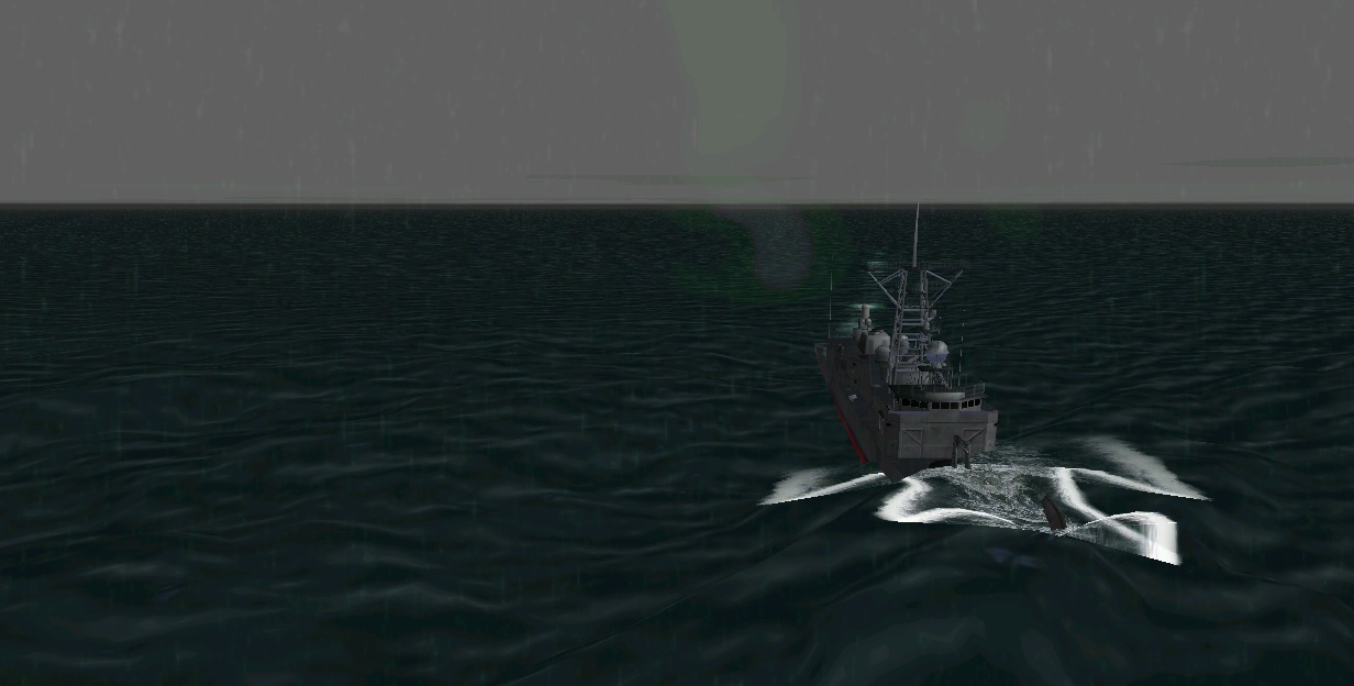  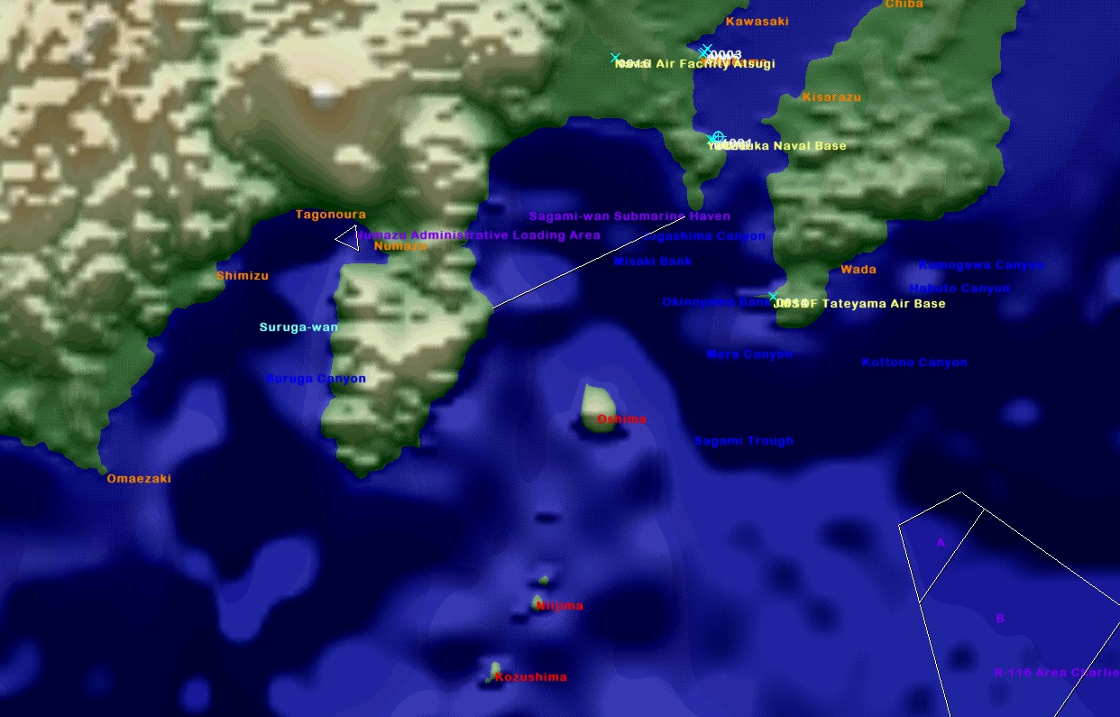 
__________________
"This officer has used my ship as his den of iniquity and my wardroom to carry him from bar to bar." |

|

|
|
06-26-22, 06:50 PM
|
#2 |
|
Girt by Sea
Join Date: Mar 2015
Location: Red Route 1
Posts: 391
Downloads: 176
Uploads: 40
|
You might be thinking that the Heard and Kerguelen Islands map is 'just another remote island', but I did some research into it and it's pretty interesting.
On the entire map, there is only one port (in the French Kerguelen Islands) and no airport. The weather is very rough for 75% of the year and the warmest temperature in summer is 5.2°C (41.36°F) - yet there is a lucrative fishery for the Patagonian Toothfish, which attracts illegal fishing vessels. The Australian Navy has run a number of missions trying to interdict these vessels - I've included my notes on a podcast https://player.fm/series/australian-...southern-ocean in the download file. Here's a video showing the fishing conditions:
__________________
"This officer has used my ship as his den of iniquity and my wardroom to carry him from bar to bar." |
|
|
|
|
07-07-22, 08:35 AM
|
#3 |
|
Born to Run Silent

Join Date: Jan 1997
Location: Cougar Trap, Texas
Posts: 21,383
Downloads: 541
Uploads: 224
|
__________________
SUBSIM - 26 Years on the Web |
|
|
|
|
07-08-22, 02:40 AM
|
#4 |
|
Girt by Sea
Join Date: Mar 2015
Location: Red Route 1
Posts: 391
Downloads: 176
Uploads: 40
|
Thanks Onkel Neal - I appreciate it a lot, what an honour!
 Stew
__________________
"This officer has used my ship as his den of iniquity and my wardroom to carry him from bar to bar." |
|
|
|
 |
| Thread Tools | Search this Thread |
| Display Modes | |
|
|


 Hybrid Mode
