
|
|
SUBSIM: The Web's #1 resource for all submarine & naval simulations since 1997
|
SUBSIM: The Web's #1 resource for all submarine & naval simulations since 1997 |
 02-27-15, 05:58 AM
|
#1 |
|
Loader
 Join Date: Apr 2010
Location: Italy
Posts: 85
Downloads: 17
Uploads: 0
|
Hi,
sometime I post some kriegsmarine maps used on the "Project: Printable navigation charts of the SH3 worldby" (Karl Heinrich) post: http://www.subsim.com/radioroom/show...=213987&page=2 Now, I would upload the D. 2230 V-Tafel edit by Oberkommando der Kriegsmarine This is the Secret manual used by German UBoote during ww2 to compute the optimal route in approaching vessels to be attacked. It was composed by text instructions (attached) and tables (only few pics here) My book was fot the Gothenhafen Uboot base use I know you, commanders, will like it (I need feeds). & pls visit my collection on www.kartengruppe.it   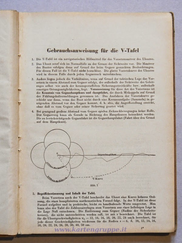 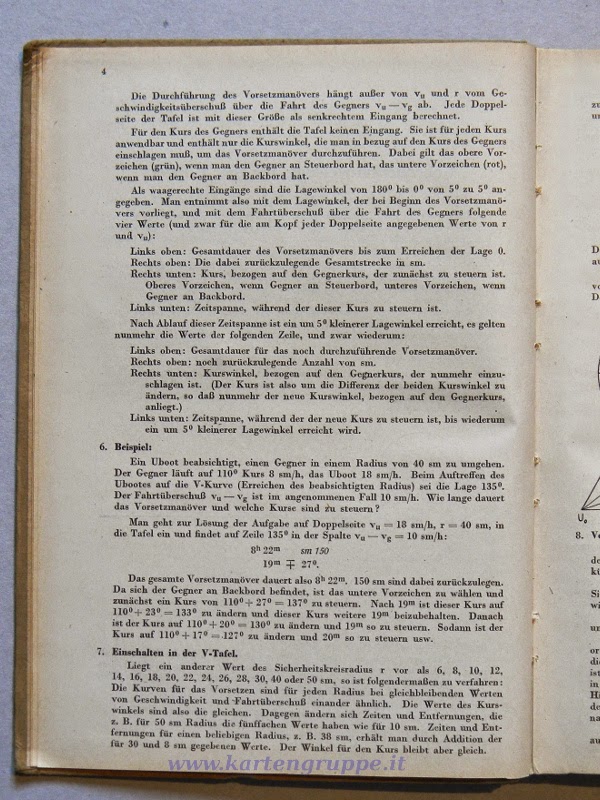     
|

|

|
| Tags |
| kriegsmarine, maps, u-boot, uboot |
| Thread Tools | |
| Display Modes | |
|
|


 Threaded Mode