
|
|
SUBSIM: The Web's #1 resource for all submarine & naval simulations since 1997
|
SUBSIM: The Web's #1 resource for all submarine & naval simulations since 1997 |
 11-19-21, 09:07 PM
|
#1 |
|
Girt by Sea

Join Date: Mar 2015
Location: Red Route 1
Posts: 391
Downloads: 176
Uploads: 40

|
Here's my tenth instalment of maps I've made for Dangerous Waters. The maps are of:
* Haiti and The Dominican Republic * Tonga and Fiji * An updated Kola Peninsula * Changed Norwegian towns to include Norwegian language characters * Added the port of Severomorsk * Added the real missile range linked to the Novaya Zemlya Test Site (and its boundaries) They are essentially 'blank' of triggers, scripts, ships and submarines, for you to make your own missions. All landmarks, features, and EEZ boundaries are marked as accurately as possible. Research Credits go to Wikipedia, World Sea Ports (https://www.searates.com/maritime/), NGA Maritime Safety Navigational Warnings and marineegions.org (for EEZs)and various notices to mariners and news websites. All information was accessed from publically available sources. ****A HUGE thank you must go to FPSChazly for making his great 'line-marking' program.**** In the Download Forums - https://www.subsim.com/radioroom/dow...o=file&id=6036 Installation: Place in your DW/Scenario folder - you know what to do!  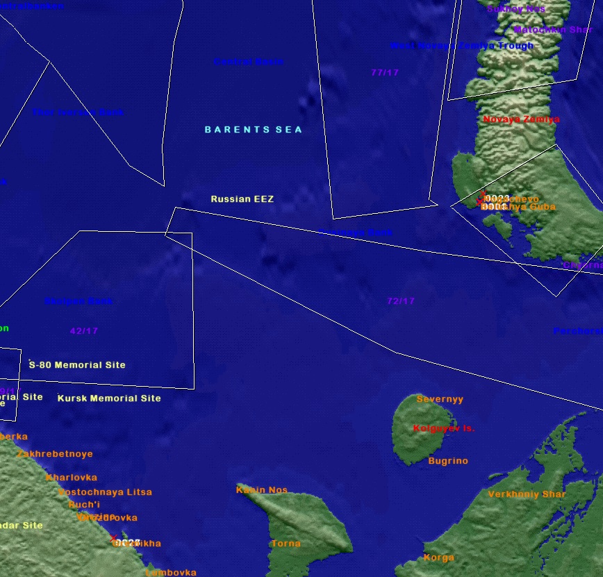 Cheers! Stew
__________________
"This officer has used my ship as his den of iniquity and my wardroom to carry him from bar to bar." |

|

|
 |
| Thread Tools | Search this Thread |
| Display Modes | |
|
|


 Linear Mode

