SUBSIM Radio Room Forums


SUBSIM: The Web's #1 resource for all submarine & naval simulations since 1997

Go Back   SUBSIM Radio Room Forums > Modern-Era Subsims > Dangerous Waters > DW Mod Workshop > DW Mission Designers' Forum
Forget password? Reset here


Thread Tools Search this Thread Display Modes
Prev Previous Post   Next Post Next
Old 02-12-17, 05:21 AM   #1
Stewy1
Girt by Sea
 
Stewy1's Avatar
 
Join Date: Mar 2015
Location: Red Route 1
Posts: 363
Downloads: 131
Uploads: 34


Default Writing map lines in a mission in text format?

Hi guys,

Just a quick question - I've been slaving away on my Virgina Capes Map - it's coming along - but I've only completed the northern ranges so far...


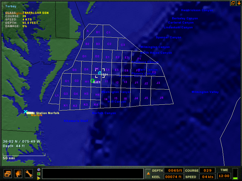
Looking at the mission file in notepad, it has the lines described as:

Quote:
LINE 205.879395 393.489410 178.682770 394.860596
LINE 70.727631 393.757446 57.436459 393.175690
LINE 57.436459 393.175690 72.495316 360.976318
LINE 72.495316 360.976318 72.858589 360.702179
While they're clearly coordinates, they don't match up with the lat/long coordinates in the map.

Question is, do you recognise the coordinates above? Is there a way to convert them to lat/long?

If there is, the map will be hyper-accurate and much, much quicker to make!

Cheers guys
Stew
Stewy1 is offline   Reply With Quote


Posting Rules
You may not post new threads
You may not post replies
You may not post attachments
You may not edit your posts

BB code is On
Smilies are On
[IMG] code is On
HTML code is Off

Forum Jump


All times are GMT -5. The time now is 11:39 AM.


Powered by vBulletin® Version 3.8.11
Copyright ©2000 - 2024, Jelsoft Enterprises Ltd.
Copyright © 1995- 2024 Subsim®
"Subsim" is a registered trademark, all rights reserved.