Hello again, everyone,
Much of the work recently has been clearing up programming debt (ie, debugging and optimizing) and code not quite ready to show off, but there is one thing ready to show off: improving the high-altitude visuals with respect to the Earth's atmospheric haze is relatively easy, so here's some update on that.
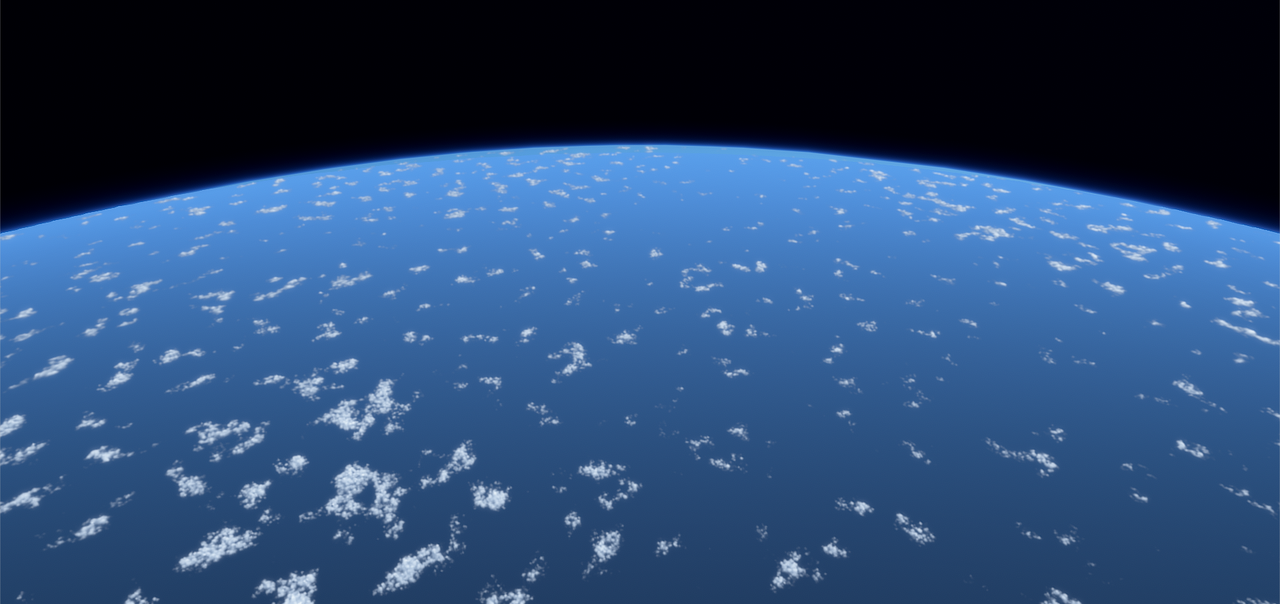
If you find pictures of Earth from the ISS (and make sure it's not a narrow field of view or high-exposure picture) you'll realize the haze is actually very narrow from orbital altitudes.
280 km.
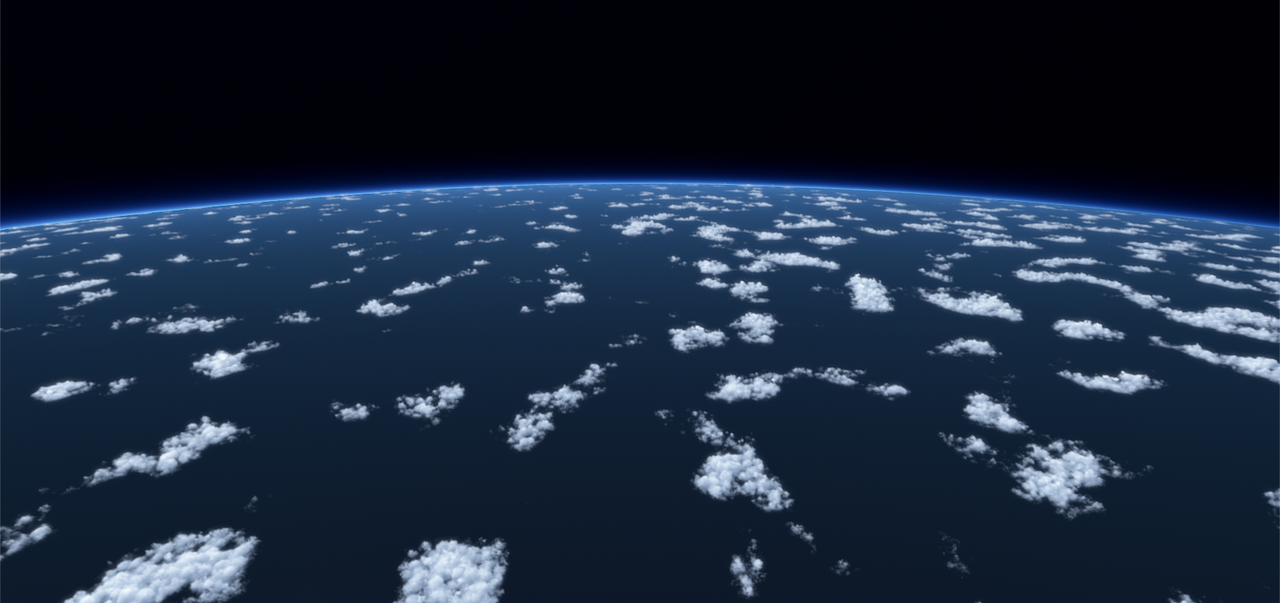
From high endo-atmospheric altitudes, it's considerably more visible. After all, this is more than 3x closer to the ground.
This kind of altitude may be relevant for things like ballistic missile interception.
80 km.
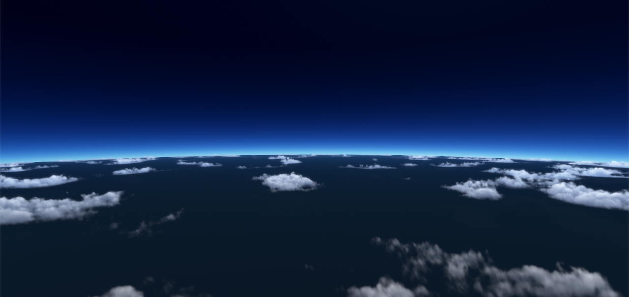
And going down to the service ceiling of the U-2 or SR-71/A-12 spyplanes or the MiG-31 (just a little higher than the MiG-25's service ceiling)...
80,000 feet.

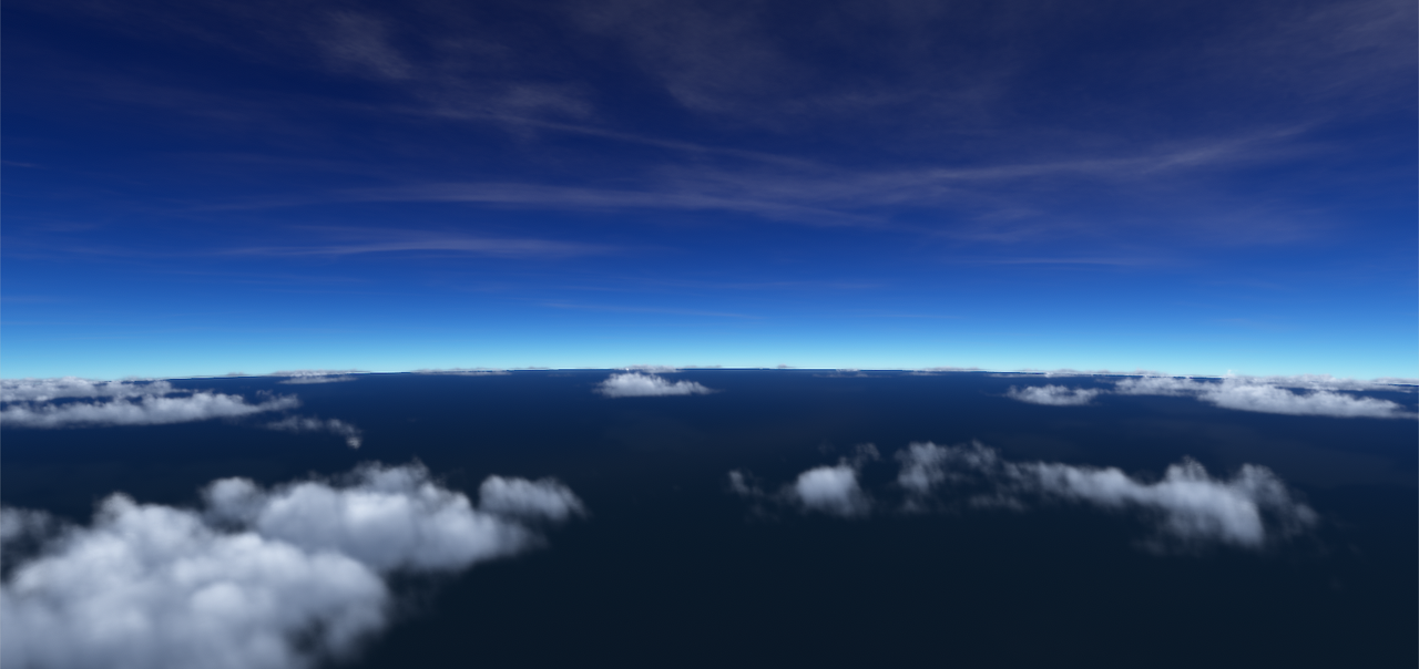
Around the service ceiling of most aircraft, 50,000 feet.
Familiar as a typical cruising altitude for long airline flights, 30,000 feet.
15,000 feet
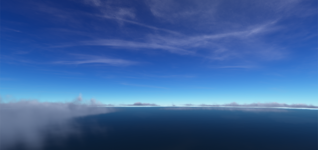
and just above sea level.

That's all for now. Thanks for joining us. Until next time, clear sailing.