
Quote:
|
This Gall-Peters projection (wiki) uses the sin-function for the vertical coordinate. The Mercator projection (wiki) uses a combination of natural logarithm and the tan or sin function. Both would make the relationship between RL latitude degrees and SH3 vertical kilometers non-linear. Those do not match up with the linear measurements I made. Besides, likely game-developers avoid these kind of functions if they can. As they are far to computationally intensive. An extra divide or multiply they don't have problems with these days.
|
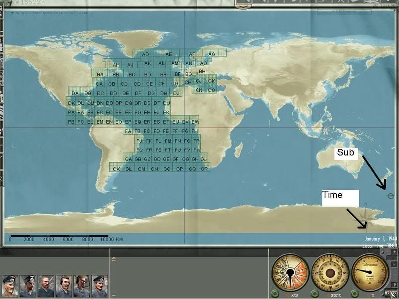
Isn't the SH3 world flat anyway? I don't understand why it should be computationally difficult to pinpoint the sub on a flat surface no matter what projection it was based from.
Quote:
|
If I understand you correctly, are you saying that the difference between Google Earth and the SH3 map is only 0.01%?
|
Only in the vertical. However, it is stretched horizontally at higher latitudes.
At least superficially, it looks like an "Equirectangular" projection so that lines of latitude and longitude are equally spaced.
(not my images)

__________________
Career: Feb. 13, 1942 "Cpt. Johny Goodwood"
Porpoise class: USS Shark, SS-174
Patrols: 2
Victories: 1 Merchants (4519 GRT), 0 Warships (0 GRT), 0 Aircraft
Sunk with all hands lost.
|