Image taken from this post :-
http://www.subsim.com/radioroom/showthread.php?t=182069
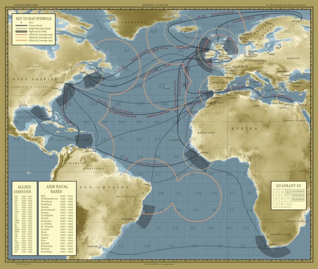
If you look at the bottom right hand corner, It gives an example of how to use the map. The example used is grid ES (which is west of Freetown, Africa).
So if you received a radio report that said ES33 then that would be the very top right hand corner of grid ES. And if it was ES37 then that would be Still be the top right hand corner of grid ES, but would be near the center of grid ES.
Hope this helps.
 Edit :- This link will explain it better than I can.
----> http://www.uboat.net/maps/grid.html