https://www.subsim.com/radioroom/dow...o=file&id=6388
Here's my twentieth instalment of maps I've made for Dangerous Waters. The maps are of:
* Taiwan (including Taiwanese naval ranges)
* Samoa
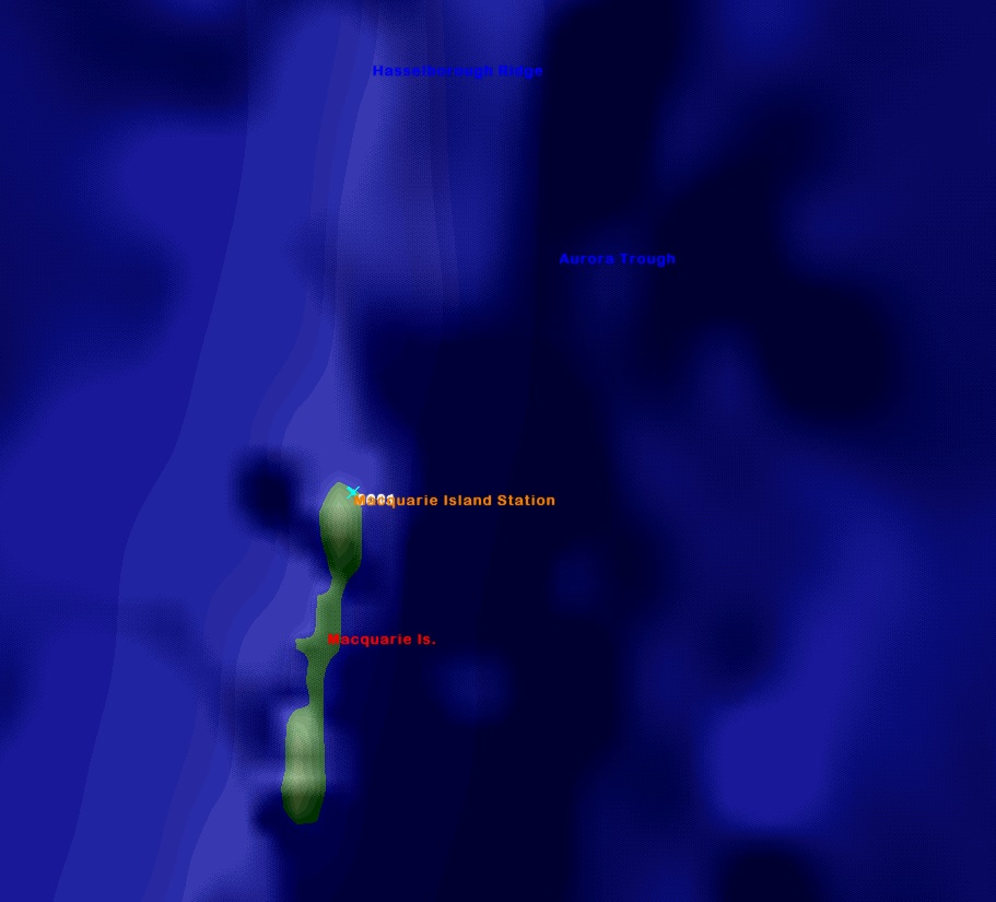
* Macquarie Island (Australian Antarctic Territory)
* Christmas Island (Australian external territory in Southeast Asia)

They are essentially 'blank' of triggers, scripts, ships and submarines, for you to make your own missions.

All landmarks, features, and EEZ boundaries are marked as accurately as possible.


Research Credits go to Wikipedia, World Sea Ports (
https://www.searates.com/maritime/), NGA Maritime Safety Navigational Warnings and marineegions.org (for EEZs)and various notices to mariners and news websites. The resticted airspace coordinates are from the FlightSim program, LittleNavMap.
All information was accessed from publically available sources.
****A HUGE thank you must go to FPSChazly for making his great 'line-marking' program.****
Installation:
Place in your DW/Scenario folder - you know what to do!
Disclaimer:
Naturally, download at your own risk. I take no responsibility for any adverse effects to your computer by downloading these files.
Feedback (and requests) welcome via the Subsim forums!
Cheers!