Hi everyone,
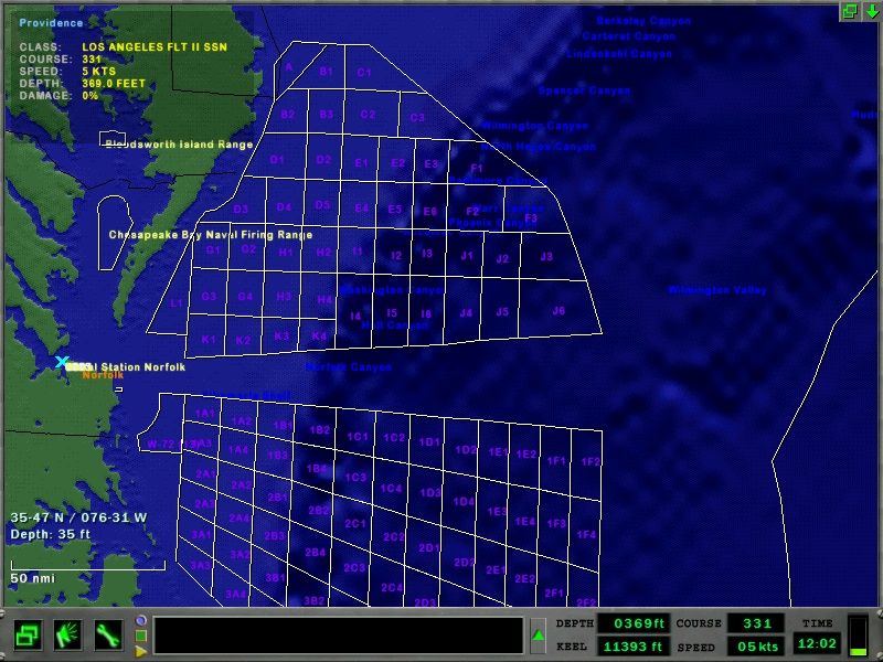
Thanks to Chazly's great plotting program, I've made a bit more progress on the Virginia Capes map.
The northern range was done by hand, the southern range with Chazly's program. You can see the southern range looks much sharper (and done 90% quicker!)- I might delete and re-do the northern range with Chazly's program.
I'm onto adding the Narragansett Bay ranges now (off Long Island). It's time consuming, but the end result is looking better and better!

Thanks for your patience - it's getting there!

Stew