Something interesting :
http://www.kartengruppe.it/immagini/...0/0088G-SB.jpg (from :
http://www.kartengruppe.it/index.php/nordsee-deutsche-admiralitatskarten)
But although the map was printed in 1943, it's based on a 1913 map.
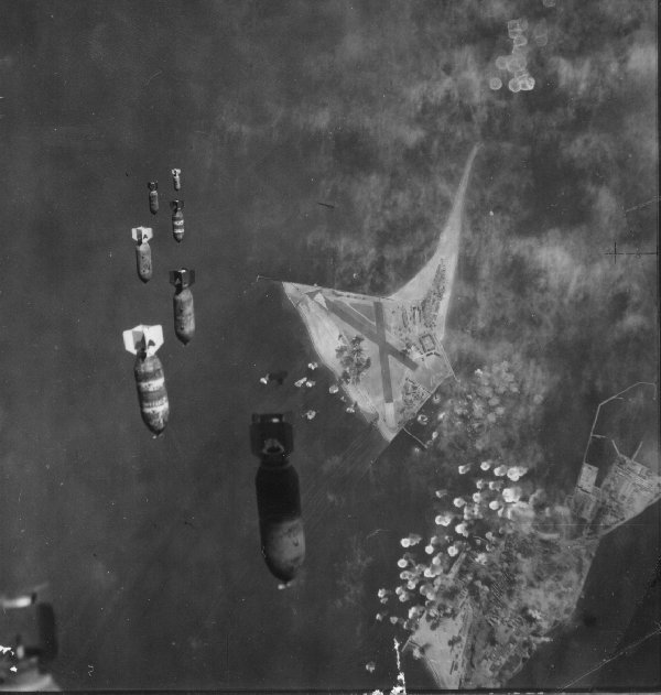
In 1943, the island was bigger, as you can see on this picture :